January 26, 2014
I’m always on the lookout for new birding loops. I do a lot of my birding by road-cruising. All other things being equal, I prefer to get out of the car and into the habitat. Unfortunately Florida habitats, like those in every other part of the world where I’ve birded, are not particularly welcoming to my people. So from a purely practical consideration, I can cover vastly more area and see more stuff by car than by my limited means of self-propulsion. Natural areas with extensive hard-packed trails are always a treat, but I’ve found that the more accessible a natural area is, the more heavily visited it is. Profound. I prefer my natural history outings to be populated mainly or entirely by folks I choose to be with. Which is often no one. Some might call me a misanthrope. I hate those people.
When birding by car, the ideal trip for me is a big circuit that satisfies several requirements: a) it involves little or no time driving on heavily traveled roads that are impractical for slowing, stopping or wildlife observation or photography, b) it includes as wide a variety of interesting habitats as possible, c) the good light for photography is on the driver’s side as much as possible, and d) it is centered on DeLand and can be completed in a half-day or so. Finding new loops that meet these criteria is always a big rush.
So armed with a sense of adventure and optimism, I tried a new loop yesterday, and I’m pleased to report that it is the ultimate driving loop for birding Ocala National Forest. That’s a pretty presumptuous claim given the hundreds of miles of drivable roads in Ocala, so I should probably qualify it by saying merely that it is the ultimate Ocala driving loop that I’ve experienced to date. Anyway, I was recently accused of being “full of crap” by one of the most accomplished blowhards and bullshitters I’ve ever known; if you buy the premise that nobody can spot a bullshitter like another bullshitter, then my credibility is pretty low to begin with. Making one more extravagant and insupportable claim probably won’t adversely affect whatever shred of credence I might have.
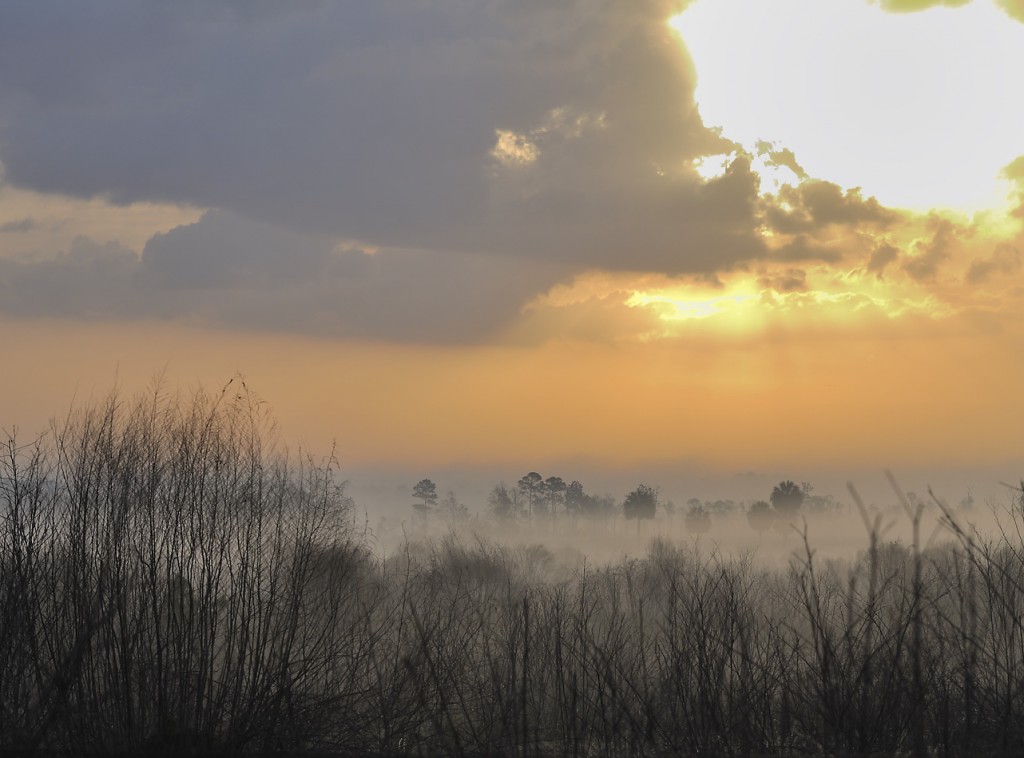
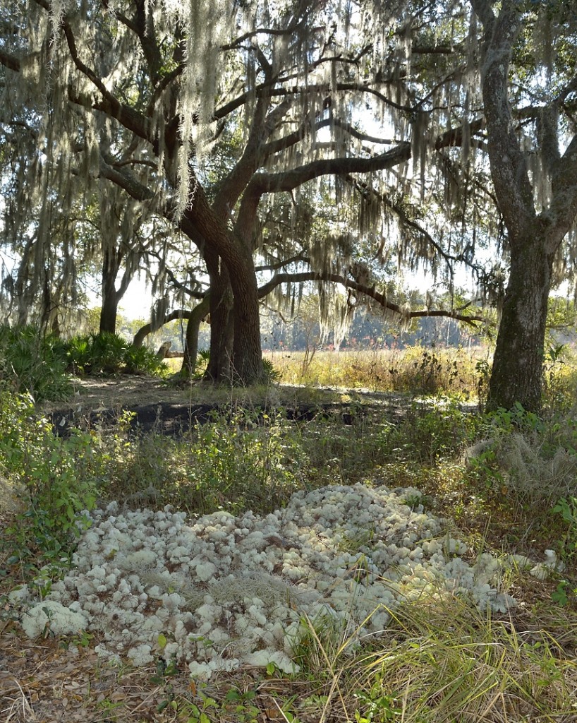
I left home about a half-hour before sunrise Saturday morning and drove west on 44 across the St. Johns River, heading for the southern edge of the forest, whose boundary is formed by State Road 42. I was hoping to hit Paisley just as the sun was rising; a big successional field slopes downwards towards Lake Akron just before you enter Paisley. When conditions are right, a big fog bank sometimes forms over the lake and creeps up slope across the field, producing at times a spectacular foreground for the rising sun. The clouds were pretty dense and gloomy on this day, though, and the sunrise was humdrum. Somber gray skies prevailed until mid-morning. From Paisley, I continued southwest on 42 through Altoona, arriving at Sunnyhill Restoration Area by about 7:45. There is a small tract of live oak hammock there that is lovely in its own right, drenched with epiphytes like Spanish moss and resurrection fern, but there were no birds active on this chilly gray morning. The pastures near the horse trailer parking lot produced a flock of killdeers calling and wheeling, and a barred owl called from a distant hammock, but mostly it seemed as if the birds were still waiting to begin their day.
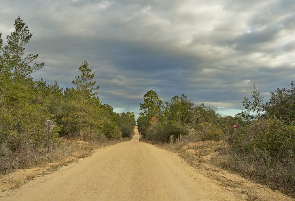
I backtracked on 42 to SW 182nd Avenue Road (Avenue Road ? Isn’t that a bit of overkill?) and headed north a few miles to FR14, and then north on FR 05 (labeled SE 205th Ave and Nfr 579 on Google Earth). I first visited Forest Road 05 a few months back and was struck by the incredible diversity of habitats it traverses.
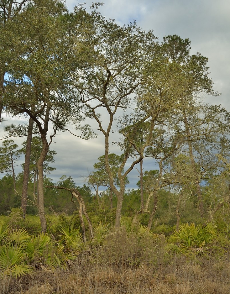
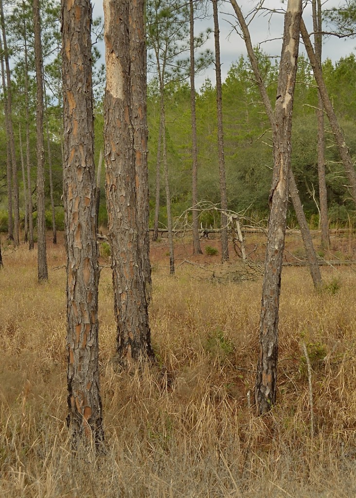
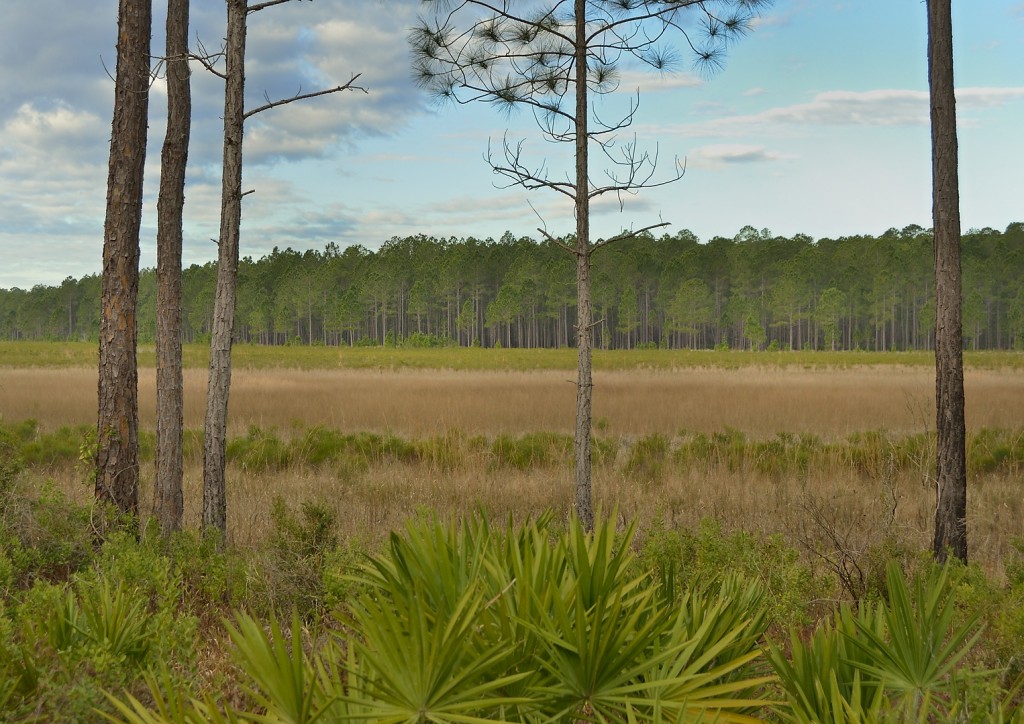
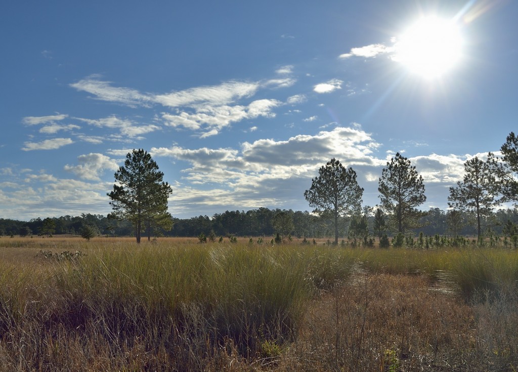
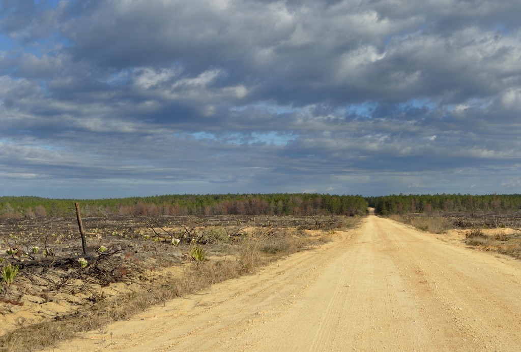
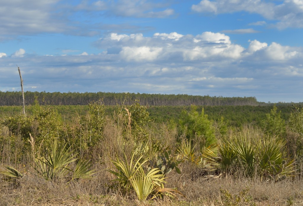
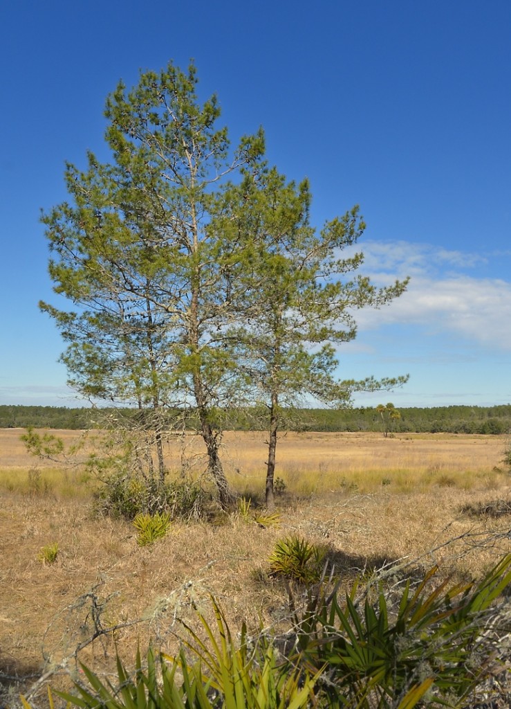
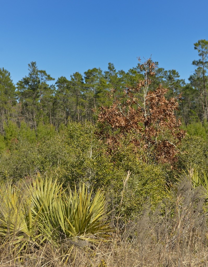
The predominant habitat along FR 05 is scrub, but that simple statement doesn’t begin to hint at the wide range of structural and floristic variants that scrub encompasses. From where I started at its intersection with FR14 on the south to its terminus where it intersects FR50 (Hopkin’s Prairie Rd) some fifteen miles north, FR 05 traverses pretty much every stage of the scrub successional cycle, from recently burned tracts containing nothing but charred trunks and a few scattered survivors to mature monoculture stands of old sand pine, ready to be burned or harvested. And everything in between. Throw in non-scrub habitats, such as the frequent ponds, wetlands and depressions that support different plant communities and the result is that while cruising FR05, you are rarely in the same habitat type for more than a mile or so. If that.
Words are inevitably inadequate to describe the charm of these scrub habitats. Perhaps images are more revealing.
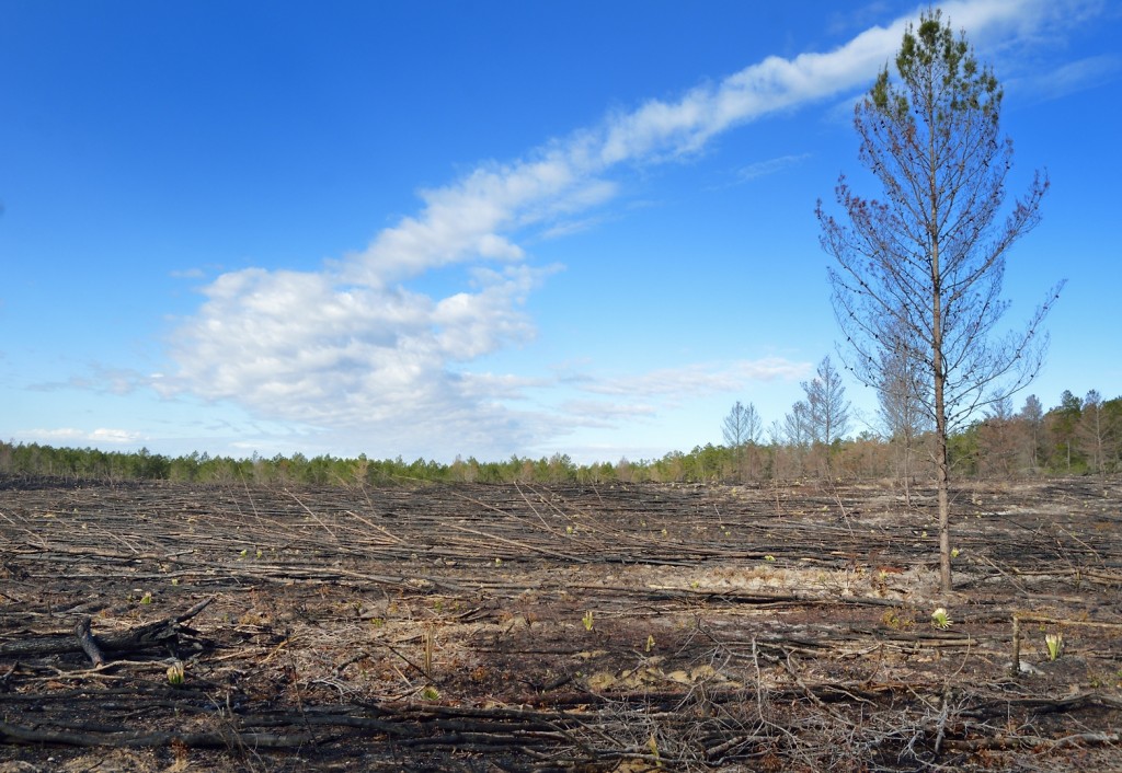
A couple of northern flickers were hanging around and doing the wicka-wicka pair-bonding display in one of the few remaining sand pines.
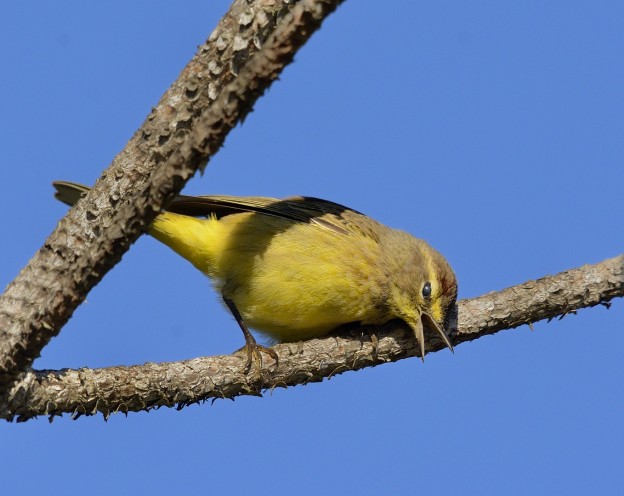
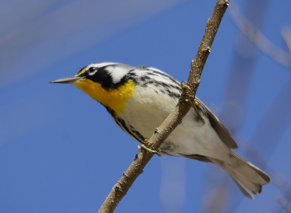
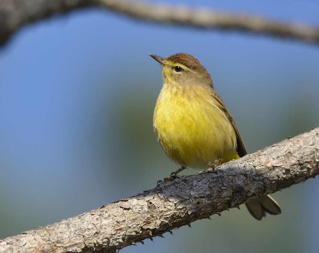
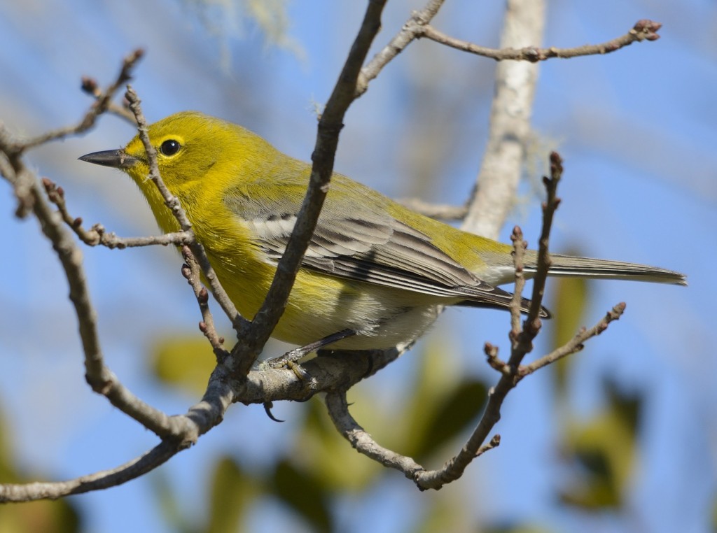
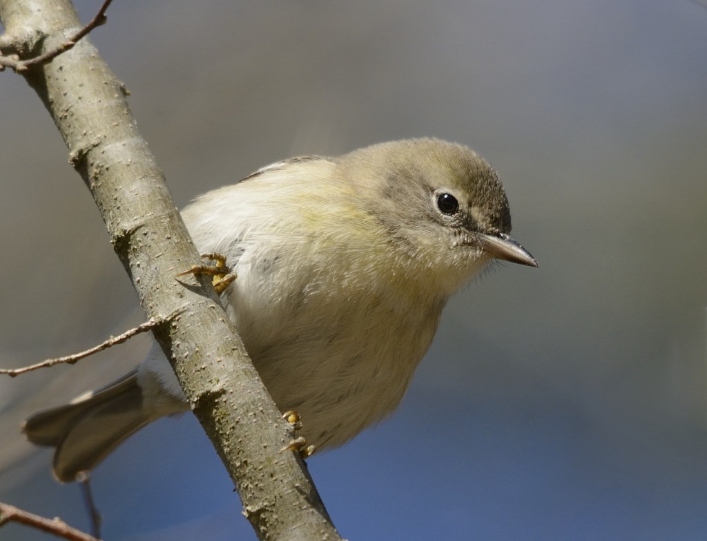
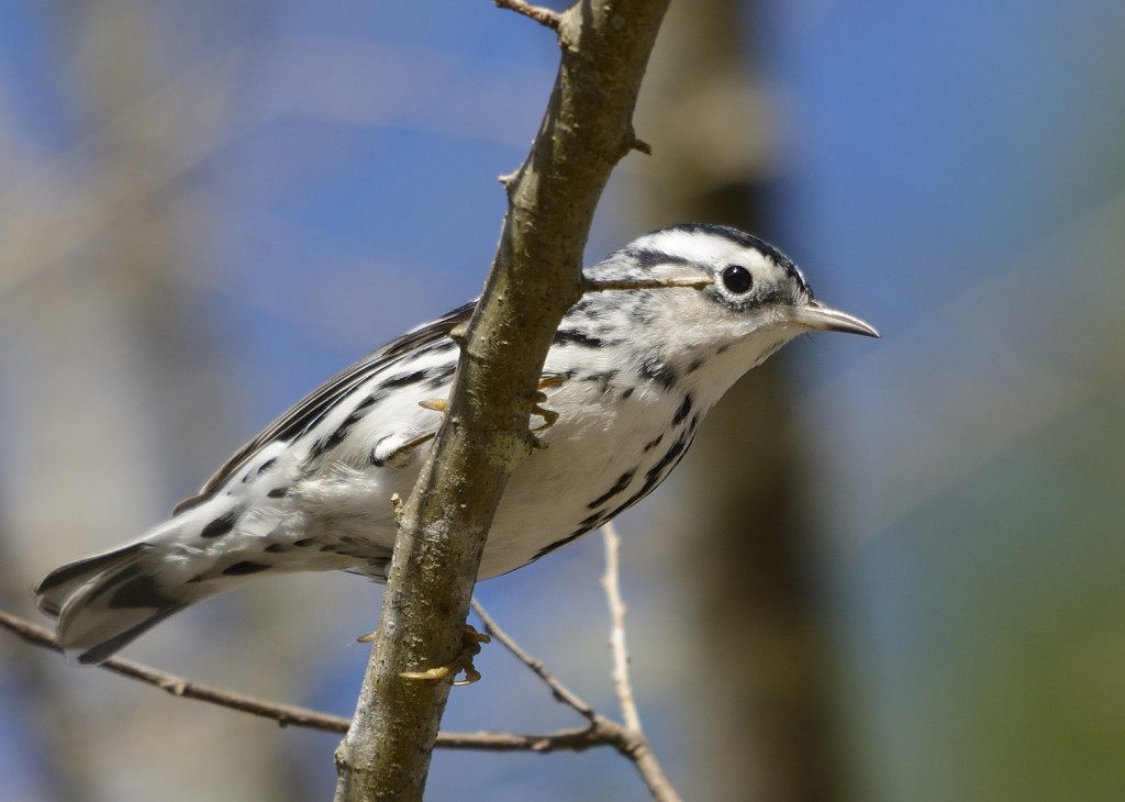
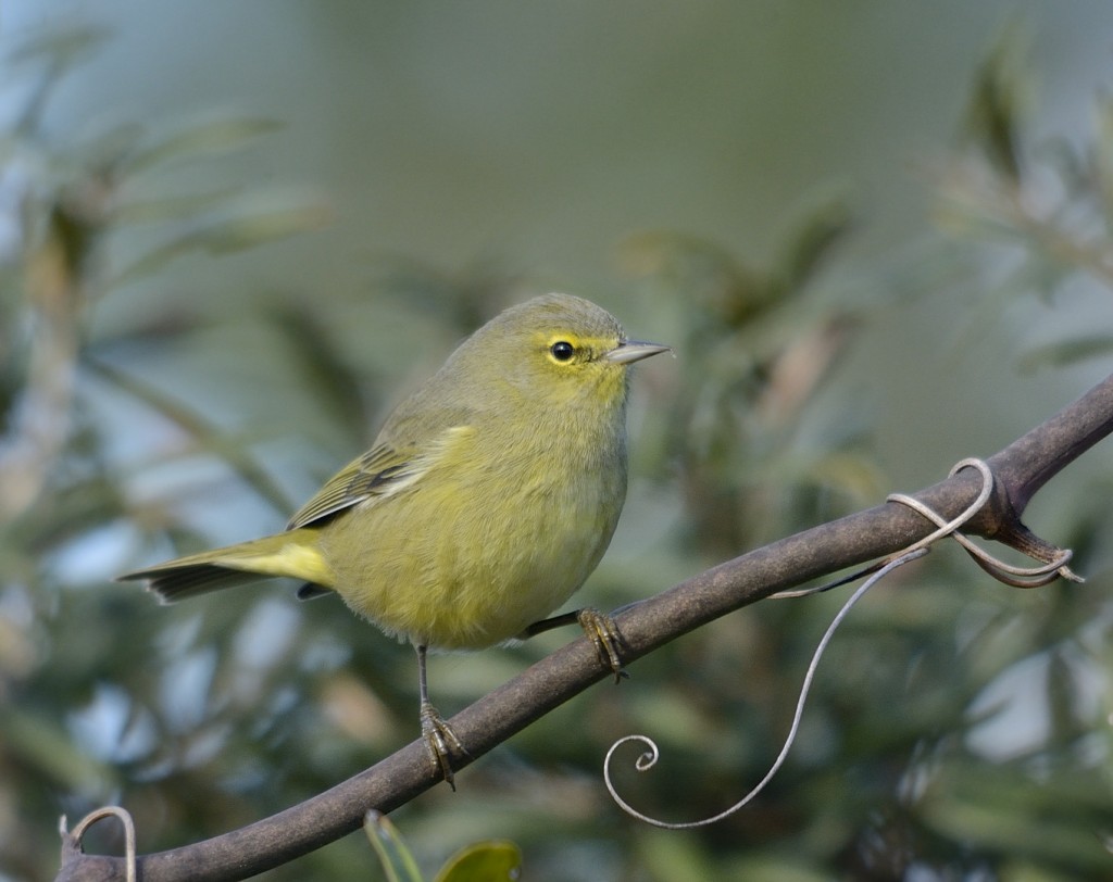
For the first hour and a half on FR05, bird activity was still quite low. Cold, cloudy conditions often stimulate birds of forested habitats to stick close to dense cover; trying to find birds at the edges created by the forest roads can be pretty non-productive. Several big flocks (~100) of American robins flew over, but I only saw a few in the scrub. A couple of flocks of blue jays and an occasional house wren or cardinal pair were about all I could kick up at first. By 10, the cloud cover began to disperse, the sun blazed through, and the birds began to appear. The various forms of scrub can host big numbers of wintering passerines, including half a dozen or more species of warblers. In fairly short order, I was able to tick off pines, palms (a couple of westerns but mostly easterns), yellow-rumps, yellow-throateds, black-and-white, common yellowthroat, a distant ovenbird chewking repeatedly, and several orange-crowned warblers. Eight species of warblers within an hour or two in mid-winter? How are you going to beat that?
As FR05 approaches it’s intersection with State Road 40, the main east-west artery through the forest, one can, if one likes, take a 3/4 mile jog to the southwest to the boat ramp on Half Moon Lake. Expert Florida naturalist and biologist Dr. Steve Christman tells me that he sees bears in this area all the time, but I saw none on this day. Lots of bear scat, though, along with that of other carnivores. In some areas of the forest, it seems there is a pile of scat in the road from bear, bobcat, coyote, raccoon, or some other mid- to large-sized mammal nearly every 50m or less. Which does hint at the answer to the age-old riddle – does a wild bear shit in the woods? Not all the time, apparently.
Taking the dead-end spur to Half Moon Lake will spoil the loopular purity of this route, though, so it shouldn’t be indulged in cavalierly.
Across State Road 40, FR05 continues north for another several miles, in the process dipping down to the elevation of and skirting the edge of lovely Zay Prairie. Just one of many grassland/seasonal wetlands that FR05 passes, but certainly the most fully visible from the road.
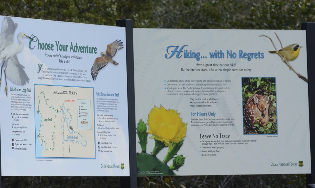
Just before FR05 ends where it intersects FR50, there is a network of trails in the Lake Eaton Sink area. A small parking lot marks the trailhead; it was here that I digitally photographed my first Florida scrub lizard (Sceloporus woodi) several months ago. No scelops out on this chilly day, but I noticed something else there for the first time. Signs with some of my photographs on them! Tres cool.
The turn to the east of the ultimate Ocala loop comes at FR50; I turned right there yesterday, but a turn to the left will take the non-loop fixated visitor to some lovely hammocks and wetland habitats surrounding Lake Eaton. And Lake Eaton itself is charming.
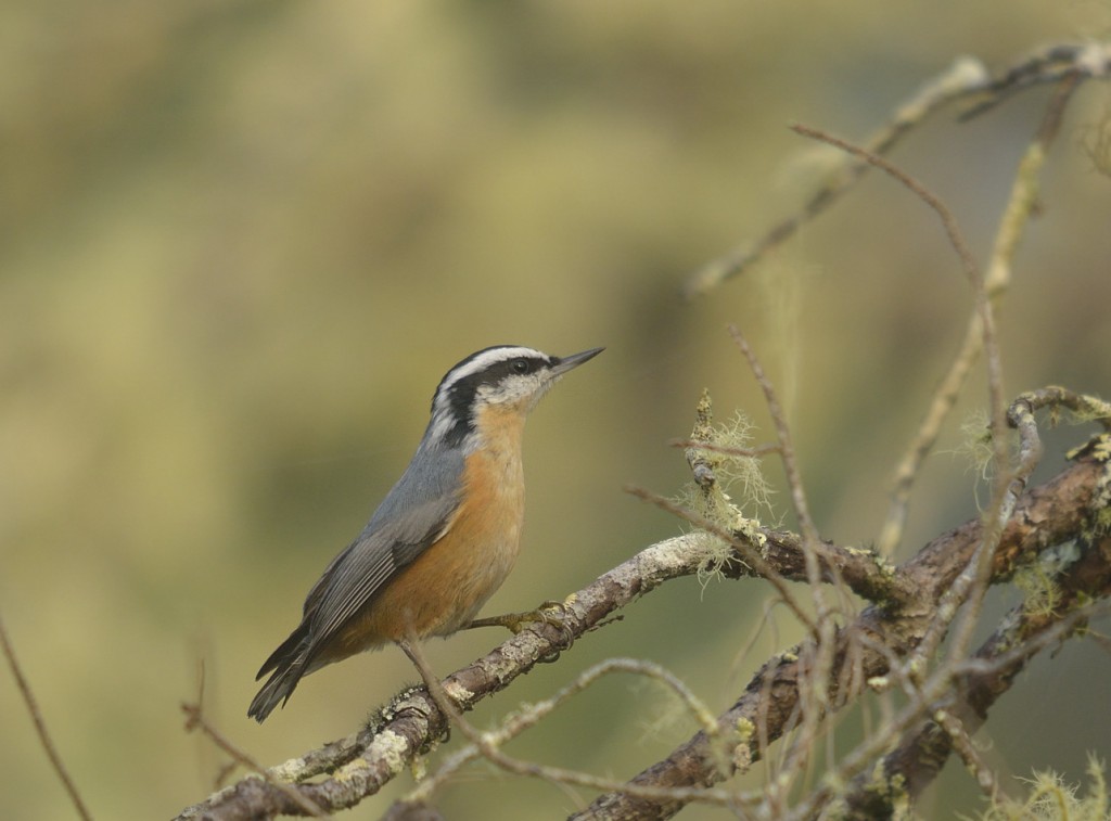
Forest Road 50 eventually takes you by one of the most gorgeous areas of the forest I’ve yet seen, Hopkin’s Prairie. And that’s a viable option for modifying the ultimate Ocala loop if you choose to do so. But I didn’t. I turned south on FR33 west of Hopkin’s Prairie, stayed on that well-traveled road for scarcely more than a mile, then turned east on FR46, which skirts the northern edge of magnificent Juniper Prairie Wilderness. If I had to pick one road for birding out of all the roads I’ve been on in the forest, it would probably be this one. It runs only about 5 miles from its intersection with FR33 to where it ends at State Road 19 just south of Silver Glen Springs, but the range of both scrub and sandhill habitats found in this relatively short stretch usually produces a wide diversity of cool birds. Including lots of Florida scrub jays. Last winter during the red-breasted nuthatch invasion, I found these endearing little scuts on several occasions in the mature sand pine scrub tracts along FR46. The vast landscapes of low-stature oaky scrub visible to the south of this road are awe-inspiring.
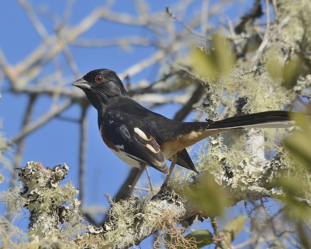
Wintering eastern towhee. Our breeding towhees have white eyes. Towhees are abundant in the oaky scrub of Juniper Prairie
At State Road 19, the slow-rolling, intense birding part of the loop ends and gives way to the high-speed, vista-scanning form of birding. I usually take 19 back to 40 and then work my way back to Deland from there, still passing through the vast Ocala National Forest along much of the route. But that only works if you live in Deland. For those of you non-DeLandites, feel free to modify the ultimate Ocala loop once it reaches SR19 as necessary to return to your place of origin or nearest convenient parallel dimension.
